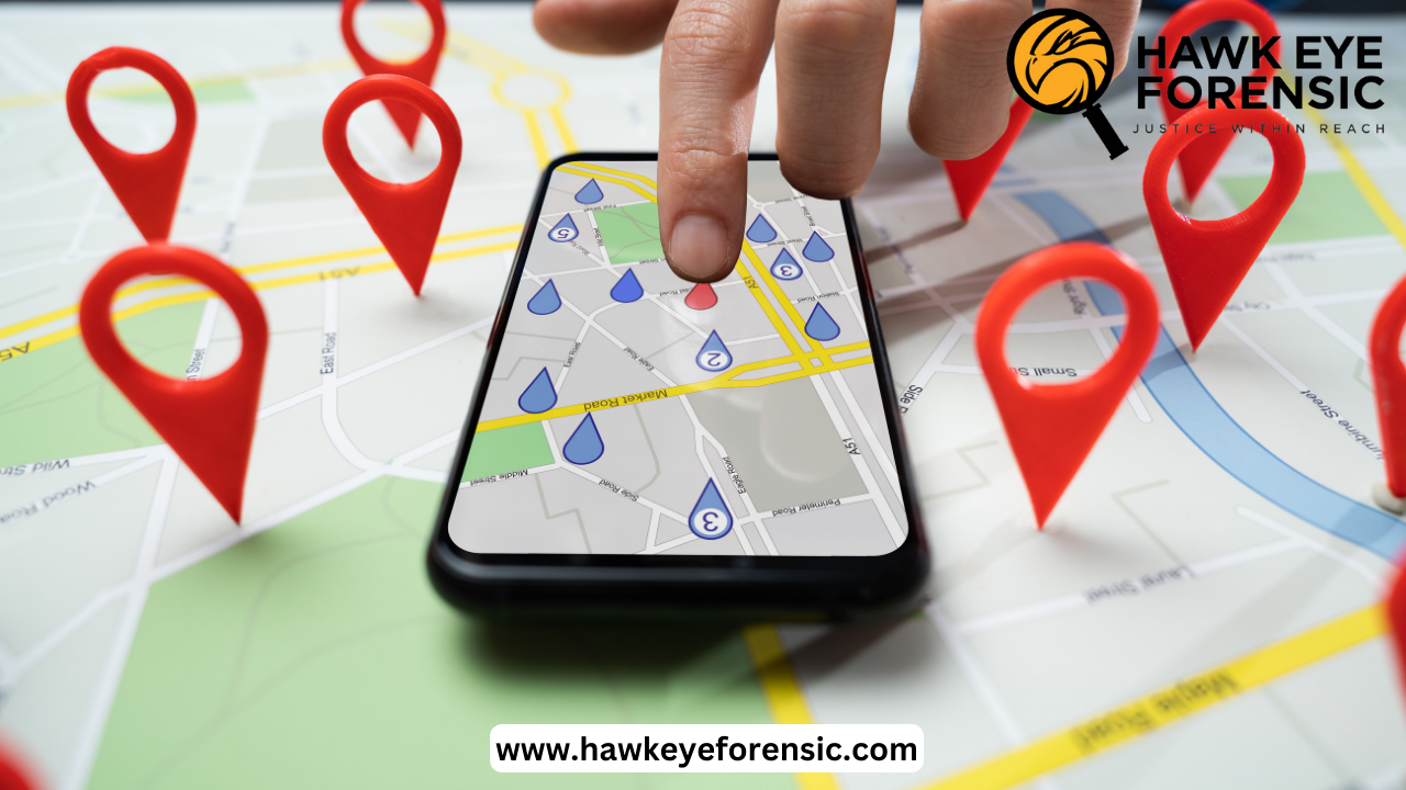
In the rapidly changing field of digital forensic, GPS Forensic has emerged as a powerful tool for investigation, providing hidden information of the movements and locations of individuals and vehicles. However, the interpretation and analysis of GPS data present several challenges that must be carefully resolved to ensure accurate and reliable findings. These challenges can be caused by a variety of factors, ranging from technical limitations to environmental conditions to intentional interference.
Some commonly faced challenges are-
Latitude and Longitude Precision
The fundamental component of GPS forensic is the ability to locate exact geographic coordinates, denoted as latitudes and longitudes. However, the accuracy of these coordinates can be affected by multiple factors including the quality of the GPS receiver, number of satellites in view, and the presence of obstructions and interferences. In urban regions, a phenomenon known as urban canyoning can substantially degrade the quality of GPS signals due to the presence of tall buildings, leading to less precise location data. On the other hand, in isolated and densely forested areas, signal blocking due to dense vegetation can also result in reduced accuracy.
Topographical Differences
The Earth’s diverse topography adds another layer of difficulty in GPS forensics. In hilly or mountainous regions, the presence of physical obstructions like mountains and valleys can affect the GPS signals, leading to errors in location estimation. Additionally, the curvature of Earth can introduce errors in calculated distances and bearings, particularly over longer distances. These challenges become even more pronounced when analyzing GP data across different terrain types such as moving from flat plains to steep mountain ranges.
Multipath Effects
One of the most significant challenges in GPS forensic is the Multipath effect. GPS signals can reflect off surfaces like buildings, water bodies, or even the ground, creating multiple paths for the signal to reach the receiver. These reflections can cause the GPS receiver to calculate an inaccurate position, as the signal appears to have traveled a longer path than the direct line-of-sight. Multipath effects are particularly prevalent in urban environments with lots of tall structures and can significantly impact the reliability of GPS data in these areas.
Atmospheric Conditions
The Earth’s atmosphere plays a crucial role in the propagation of GPS signals, and its varying conditions can introduce errors in position calculations. Factors such as ionospheric disturbances, which can alter the speed of GPS signals, and tropospheric delays caused by variations in atmospheric pressure, temperature, and humidity can all contribute to inaccuracies in GPS data. These atmospheric effects can be especially pronounced in certain regions or during specific weather conditions, further complicating the analysis of GPS forensic data.
Intentional Interference or Spoofing
In some cases, GPS signals may be intentionally jammed or spoofed, leading to inaccurate or misleading location data. GPS jamming involves transmitting radio signals that interfere with the GPS receiver’s ability to acquire and track satellite signals, while spoofing involves transmitting false GPS signals to mislead the receiver into determining an incorrect location. These intentional acts can be particularly challenging to detect and mitigate, especially in cases where the perpetrators have access to advanced jamming or spoofing equipment.
Overcoming Challenges through Advanced Techniques-
To overcome these challenges, forensic professionals often utilize advanced techniques and methodologies. One such approach is differential GPS, which uses a network of fixed ground stations to correct for errors in the GPS signal. By comparing the known positions of these ground stations with the positions determined by the GPS receiver, corrections can be applied to improve the accuracy of the location data.
Another strategy is to combine GPS data with other sources of location information, such as mobile tower data, Wi-Fi hotspot logs, or surveillance camera footage. By corroborating and cross-referencing these different data sources, forensic professionals can gain a more comprehensive understanding of an individual’s or vehicle’s movements and location history, mitigating the limitations and inaccuracies associated with any single source of data.
Ongoing Research and Development-
As GPS technology continues to advance and become more widely adopted, the challenges associated with GPS forensics will likely persist and potentially intensify. However, ongoing research and advancements in areas such as signal processing, atmospheric modeling, and anti-spoofing measures will play a crucial role in mitigating these challenges and enhancing the reliability of GPS forensic analysis.
Researchers are exploring new techniques, such as employing machine learning algorithms to detect and filter out multipath signals, developing more strong receivers capable of operating in challenging environments, and implementing advanced encryption and authentication methods to counter jamming and spoofing attempts.
Furthermore, the integration of GPS data with emerging technologies like 5G networks, which offer improved location accuracy and resilience, holds promise for enhancing the capabilities of GPS forensics in the future.
Conclusion
GPS forensics has undoubtedly revolutionized the field of digital forensics, providing investigators with invaluable insights into the movements and locations of individuals and vehicles. However, there are several difficulties in interpretation and analysis of GPS data, particularly when considering the complex connection between latitude, longitude, and varying regional and environmental conditions.
From urban canyoning and multipath effects to atmospheric disturbances and intentional interference, these challenges demand a multifaceted approach that combines advanced techniques, data corroboration, and continuous research and development. By addressing these challenges head-on, the forensic community can unlock the full potential of GPS forensics, ensuring accurate and reliable findings that contribute to the pursuit of justice and public safety.


Post comments (0)